File:User-Daric Gaersmith-cartogr-linewidth-outline.png

Size of this preview: 622 × 600 pixels. Other resolution: 915 × 882 pixels.
Original file (915 × 882 pixels, file size: 20 KB, MIME type: image/png)
SummaryEdit
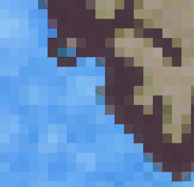
An example of the problem that I am experiencing with the line widths when digitizing from one of the stylized official maps. This image shows a vector polygon on a different layer of the map, which has been digitized by hand using the outside edge of the black coastline pixels. Note how I have cut some pixels in half or in thirds with the polygon.
LicensingEdit
| This image is licensed under the Creative Commons Attribution-ShareAlike License 2.5. You are free to share and make derivative works of the file under the conditions that you appropriately attribute it, and that you distribute it only under a license identical to this one. |
File history
Click on a date/time to view the file as it appeared at that time.
| Date/Time | Thumbnail | Dimensions | User | Comment | |
|---|---|---|---|---|---|
| current | 02:58, 23 January 2013 |  | 915 × 882 (20 KB) | Daric Gaersmith (talk | contribs) | An example of the problem that I am experiencing with the line widths when digitizing from one of the stylized official maps. This image shows a vector polygon on a different layer of the map, which has been digitized by hand using the outside edge of ... |
- You cannot overwrite this file.
File usage
The following page links to this file: